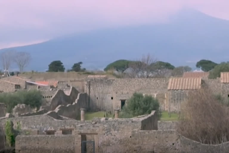
London: The ancient remains of Pompeii, a window into the past that's informed archaeologists about how the Romans lived and how their town centres were structured. It's one of only a few examples researchers have to study.
But now, archaeologists have another discovery to test their theories all uncovered without ever breaking ground.
In a study, published Monday (8 June 2020), the team from the University of Cambridge and Ghent University in Belgium say they mapped a complete Roman town Falerii Novi, 50 kilometres north of Rome in the Italian region of Lazio.
It was first occupied in 241 BC and measures a little over 30 acres, just under half the size of Pompeii.
"We've done work there before that showed that some of the geophysical techniques work quite well. So, we were expecting to see quite a lot of the Roman town, but what we got from this technique is truly spectacular," says Professor Martin Millett from the University of Cambridge.
Researchers used advanced ground-penetrating radar (GPR), which works like aircraft radar, bouncing radio waves off objects up to two metres below the surface. The radar instruments were towed behind a quad bike.
What the researchers uncovered was far beyond their hopes they discovered a bath complex, market, temple, public monument, and even the town's sprawling network of water pipes.
Read more: World Ocean Day: 30 percent of Seychelles' waters protected
The data shows the settlement at depths around every ten centimetres, meaning archaeologists can study how the town evolved through history.
It's thought the radar technology will make it possible to study larger areas in higher resolution than ever before.
It could have major implications for archaeologists studying ancient cities that can't be excavated, perhaps because they're too large or partly covered by modern structures.
But it doesn't work on all soils, the radar struggles to penetrate clay, for instance.
"What you can see is the whole of the Roman town plan from the sort of rubble at the surface through the different phases of buildings and down to the subsoil underneath with the sort of infrastructure all laid out in front of you. So. it's a complete Roman town plan," says Millett.
The team's discoveries challenge some assumptions about Roman town planning - Falerii Novi's layout is less standardized than many other well-known cities, like Pompeii.
"Rather than it just being a grid plan, around the edge of the city, there's a sort of curve, trackway or road," says Millett.
"And along that road, there are a whole series of different temples and big public buildings, the sorts of things that you don't normally see because when you dig, you tend to dig in the centre, not the edges."
It's unlikely the team's discoveries will lead to excavations at Falerii Novi - the area is strictly protected by Italian authorities.
They hope the technology will be deployed on larger sites in the future. But parts of the process will need to be automated their town radar scans produced a hefty 26 billion data points to work through.
Also read: Panda escapes from enclosure at Danish zoo, returns
(with inputs from AP)


