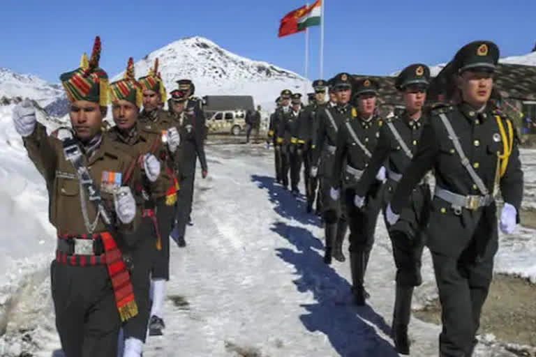
New Delhi: With winter about to set in, there may be a definite pattern between the stubborn Chinese posture adopted with the Indians during the talks on Sunday at Moldo across eastern Ladakh in the western sector, preceded by news of two flare-ups in the central sector and the eastern sector. China’s plan may be to stretch and spread Indian forces across the length of the Line of Actual Control (LAC) so that logistics are stretched to the limit and heavy costs incurred.
What may be influencing the PLA strategy is the timing as winter is about to set in.
It is commonly understood that Chinese infrastructure is much better than the Indian side. And having been already deployed in last winter, better infrastructure may already in place.
Terrain-wise, the Chinese are at an advantage as their approach to the northern face of the Karakorum and the Himalayas passes through flat land although on a plateau, while India’s approach is a steep one where the mountains have a steep incline.
China’s voicing of its vehement opposition to the visit of Indian vice-president Venkaiah Naidu to Arunachal Pradesh last week may be part of the broader border stratagem, as it was deliberately linked to the ongoing border impasse between the two nations.
Protesting the vice-president's visit to the border state, Chinese Foreign Ministry spokesperson Zhao Lijian on Wednesday had said: “The Chinese government never recognises the so-called Arunachal Pradesh established unilaterally and illegally by the Indian side, and is firmly opposed to the Indian leaders’ visits to the area concerned... We urge the Indian side to earnestly respect China’s major concerns, stop taking any action that would complicate and expand the boundary issue... It should instead take real concrete actions to maintain peace and stability in the China-India border areas...”
While the Indian response was hard-hitting, the latest development comes in the backdrop of an ugly spat after the unexpected failure of the senior commander-level military talks between the two sides in the Moldo PLA garrison on Sunday.
And just before the Moldo talks, there were news reports of two flare-ups in Barahoti in Uttarkhand’s Chamoli and Yangste in the Tawang sector in Arunachal Pradesh.
The Barahoti incident in the central sector took place on August 30, 2021, when an “unusually large” PLA party of about 100 soldiers with about 55 horses transgressed about 5 km inside Indian territory after crossing the Tun Jun pass.
The second incident took place near Yangtse on the McMahon Line in Arunachal Pradesh’s Tawang sector on September 28 when there was a face-off between the patrol parties of the two sides that seemingly ran into each other.
From west to east and spread across Ladakh, Uttarakhand, Himachal Pradesh, Sikkim and Arunachal Pradesh, the 3,488-km-long India-China border straddles one of the world’s most difficult and extreme terrains on the Himalayas where accessibility is difficult, oxygen is scarce, and the climate extreme with winter temperatures ranging up to minus 30-40 degrees centigrade.
For most part, the LAC—divided into the western, central and eastern sectors—is not clearly demarcated leading to perceptional differences of where the border lies.
Ever since the current border conflict broke out in April-May 2020, both the Indian Army and the PLA have mobilized and deployed more than 1,00,000 soldiers along with war-like equipment along the LAC and in-depth areas.
While the ongoing tension is most palpable in the western sector in eastern Ladakh, the most serious threats lie in the eastern sector where China claims Arunachal Pradesh as its own, calling it ‘Southern Tibet’.
The root of the border problem lies in the fact that the India-China border is not formally demarcated resulting in perceptional differences of where the border between the two countries lies.


